


- 253 Kms
 3
/ 5
3
/ 5
- Reviews (0)
![]() Location: Near Igatpuri
Location: Near Igatpuri
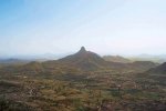
A popular trekking destination, the Harihar Fort is located in the Trimbak mountain range, about 57 km away from the hill station of Igatpuri.
Info
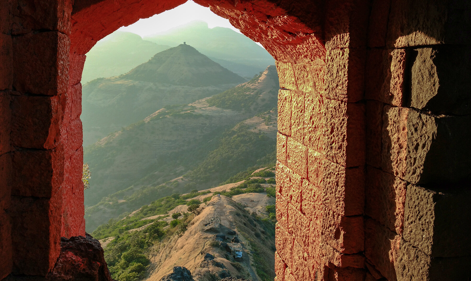
Harihar Fort is a hill fort in the Trimbak mountain range, situated about 57 km away from the hill station of Igatpuri in Maharashtra’s Nashik district. Over the years, Harihar Fort has become a popular trekking destination and is on the to-do list of every adventure enthusiast.
Also known as Harshgad, Harihar Fort was built during the rule of the Yadava dynasty (12th – 14th century). The Marathas used the fort to keep an eye on the Gonda Ghat trade route between Maharashtra and Gujurat. In 1636, Harihar and few other forts, including Trimbakgad and Tringalwadi were surrendered to the Mughals. Later, in 1818 Harihar Fort was one of the 17 forts surrendered to the British.
Harihar Fort is situated on a triangular rock with and all its three sides are vertical. There are a couple of trek routes to reach the top of Harihar Fort. One route starts at the base village of Nirgupada, and another trail starts at the village of Harshewadi. The trek from Harshewadi is comparatively easy. The Nirgudpada route is moderately difficult and it takes about 3-4 hours to reach the top.
If you opt for the Nirgudpada route, you need to walk about 4 km to reach the base of the fort. You can ask a local person to guide you in the right direction. From here, embark on an exciting trek and cautiously climb about 117 vertical rock-cut steps that have inclination of 80°.Though extremely steep at some points, the almost 200-feet-high staircase provides a pocket-like grip, making the ascent easier. Towards the end the route becomes so narrow, that only one person can climb at one time.
As you climb your way to the summit, make sure to halt near other interesting spots along the way. The first spot is a temple dedicated to Lord Shiva and Lord Hanuman. Next spot is a small fresh-water pond, which contains potable drinking water during monsoons. After this, you will come across two ancient rooms, which can accommodate up to 15-20 people. You can relax in these rooms for some time, but they not suitable for an overnight stay. Along the way, you’ll come across a few more water cisterns.
Moving forwards, you finally reach the last 10-feet-climb that takes to you to the highest point of the fort. Once you reach the summit, you’ll be greeted with the striking visual of a large saffron flag fluttering in the wind. The breathtaking views of the Vaitarna Dam and Bramhagiri Mountains, and the 360-degree view of the Sahyadris from the top of Harihar Fort are bound to leave you spellbound. After enjoying the exhilarating views carefully make your way down to the base via the same route.
Facilities
- Carry your own snacks and sufficient water for the trek.
- You may stay in the town of Igatpuri, which is about 57 km away from the fort.
- Mode of Transport: Best way to reach Harihar Fort is by car or by Maharashtra State Transport buses that drop you at Igatpuri. Or else travel by train to Kasara. Hire a local jeep from Kasara to reach to the base village of Nirgudpada.
Things to do
- Embark on an exciting trek to reach the top of Harihar Fort.
- Along the way, visit the beautiful cave temple dedicated to Lord Shiva and Lord Hanuman. You will also come across a potable fresh-water pond and two ancient rooms.
- Marvel at the stunning 360-degree view of the Sahyadris and the breathtaking views of Vaitarna Dam and Bramhagiri Mountains from the top of Harihar Fort.
Photos + Add a photo


Map

Rent a Car


Advertise on Aroundpune
Advertise here and be a part of this vast network to reach countless new customers every single day.